About Crown Meadow:
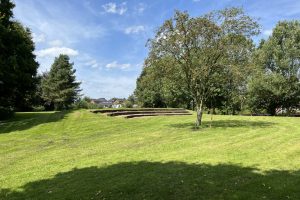
Stone Town Council owns and manages Crown Meadow situated between the River Trent, The Trent & Mersey Canal and the Scotch Brook. The area is a natural flood plain with the added benefit of managed wetland scrapes, planted with indigenous flora. At the north end is the Crown Meadow amphitheatre with a seating area and the Anglers’ Car Park for those visiting Crown Meadow. The meadow itself supports a wide range of flora and fauna and is an important part of the Trent Valley wildlife corridor. It has footpaths and seating to encourage residents and visitors to enjoy this peaceful and beautiful natural environment.
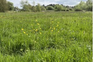
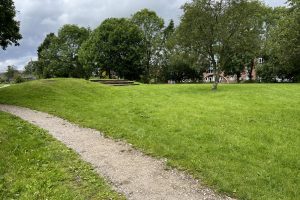
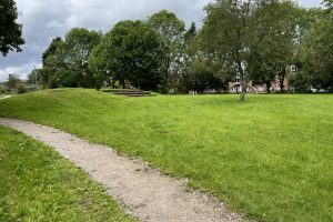
- Crown Meadow looking towards the main road
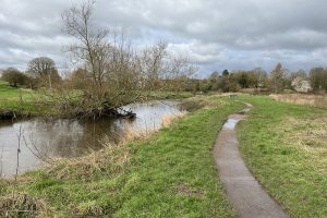
- Crown Meadow Looking north with River Trent alongside (winter)
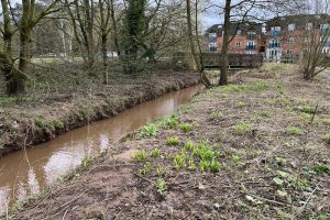
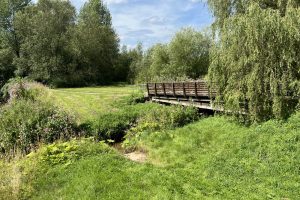
- Scotch Brook through Crown Meadow in winter
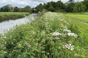
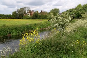
- Crown Meadow - Looking north with River Trent alongside lined with Cow Parsley (spring)
- Crown Meadow - Amphitheatre
- Crown Meadow looking across the River Trent to Trent Hospital site
- Crown Meadow flooded - Winter 2024
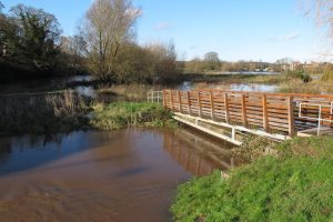
- Scotch Brook flooding under footbridge access
- Crown Meadow - Amphitheatre
- Crown Meadow - Amphitheatre
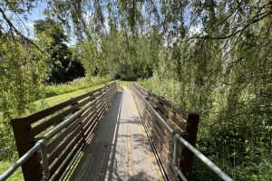
- Crown Meadow - Access footbridge from the Stafford Road access point
- Crown Meadow - Access bridge from the main road
- Crown Meadow looking north
All photographs supplied courtesy of Dave Emley
<< News on Crown Meadow (click here) << << About Crown Meadow (you are here) >> >> about Flora & Trees on Crown Meadow (click here) >> >> About Fauna (click here)
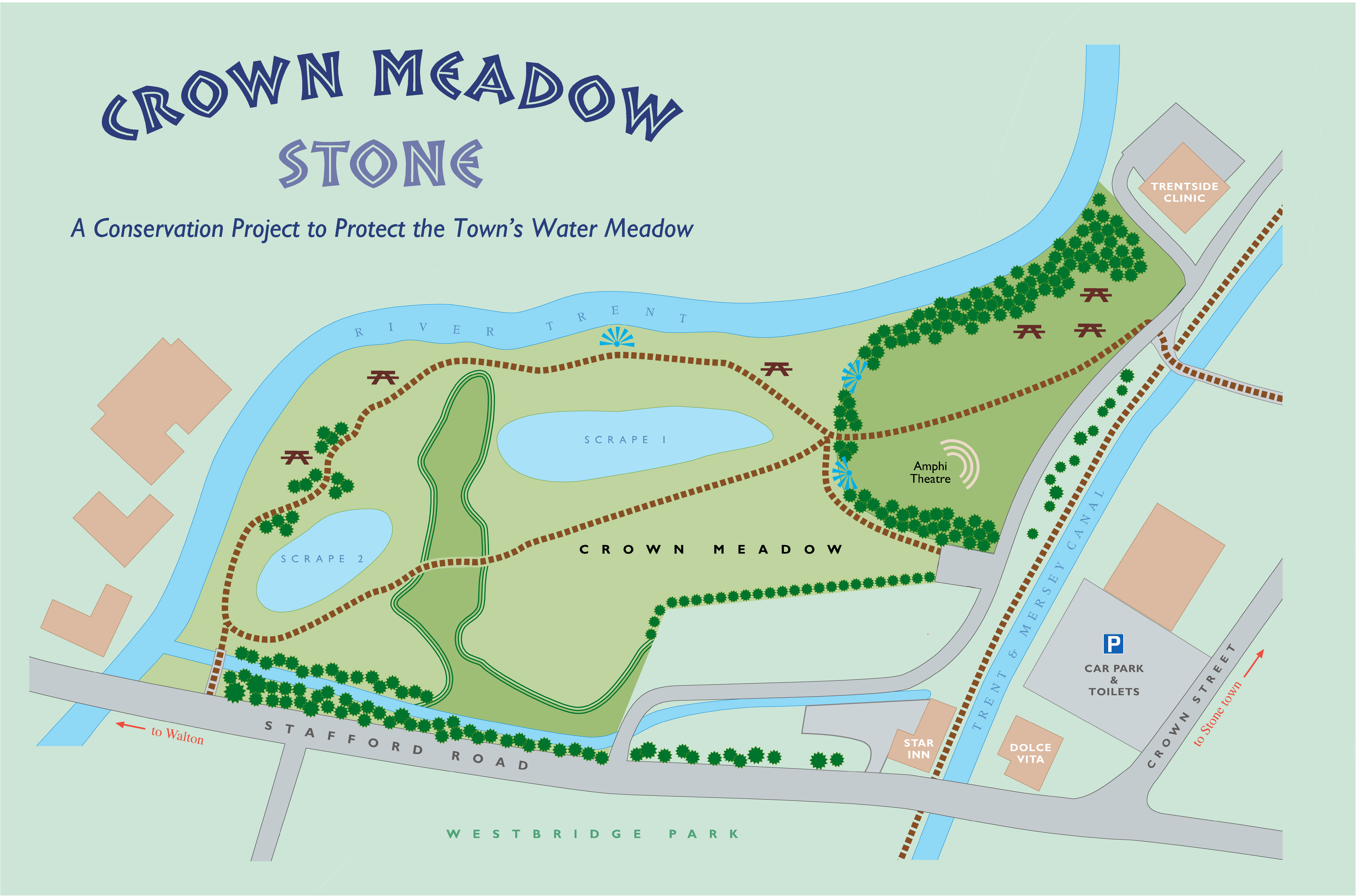
Map of Crown Meadow
<< News on Crown Meadow (click here) << << About Crown Meadow (you are here) >> >> about Flora & Trees on Crown Meadow (click here) >> >> About Fauna (click here)

